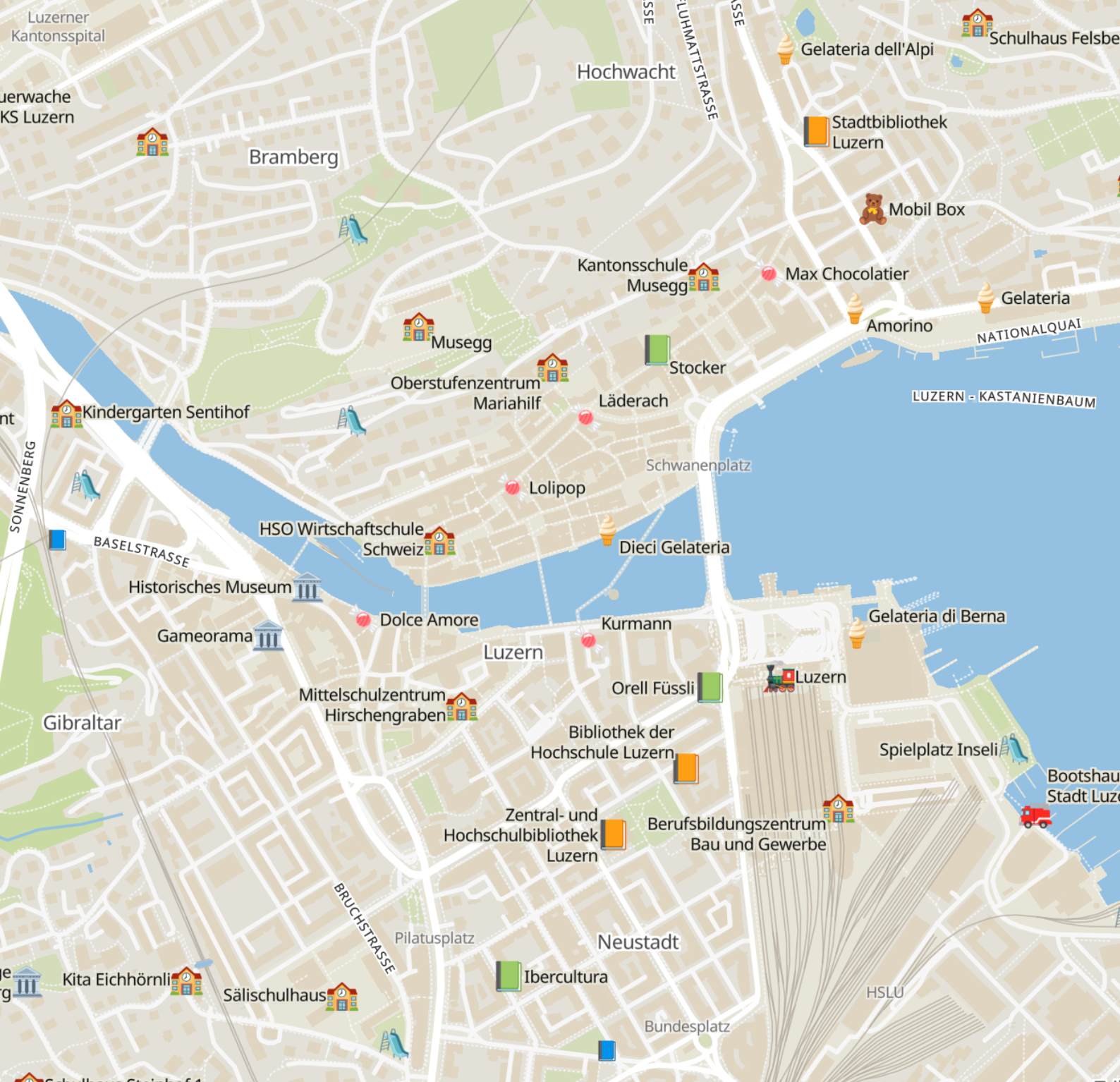
One of my highlights of yesterday's Mapping USA online conference was osm.kids, a map using #OpenStreetMap that's made for #children! If you're zoomed in, it highlights things like playgrounds, fire stations, schools and ice cream shops.
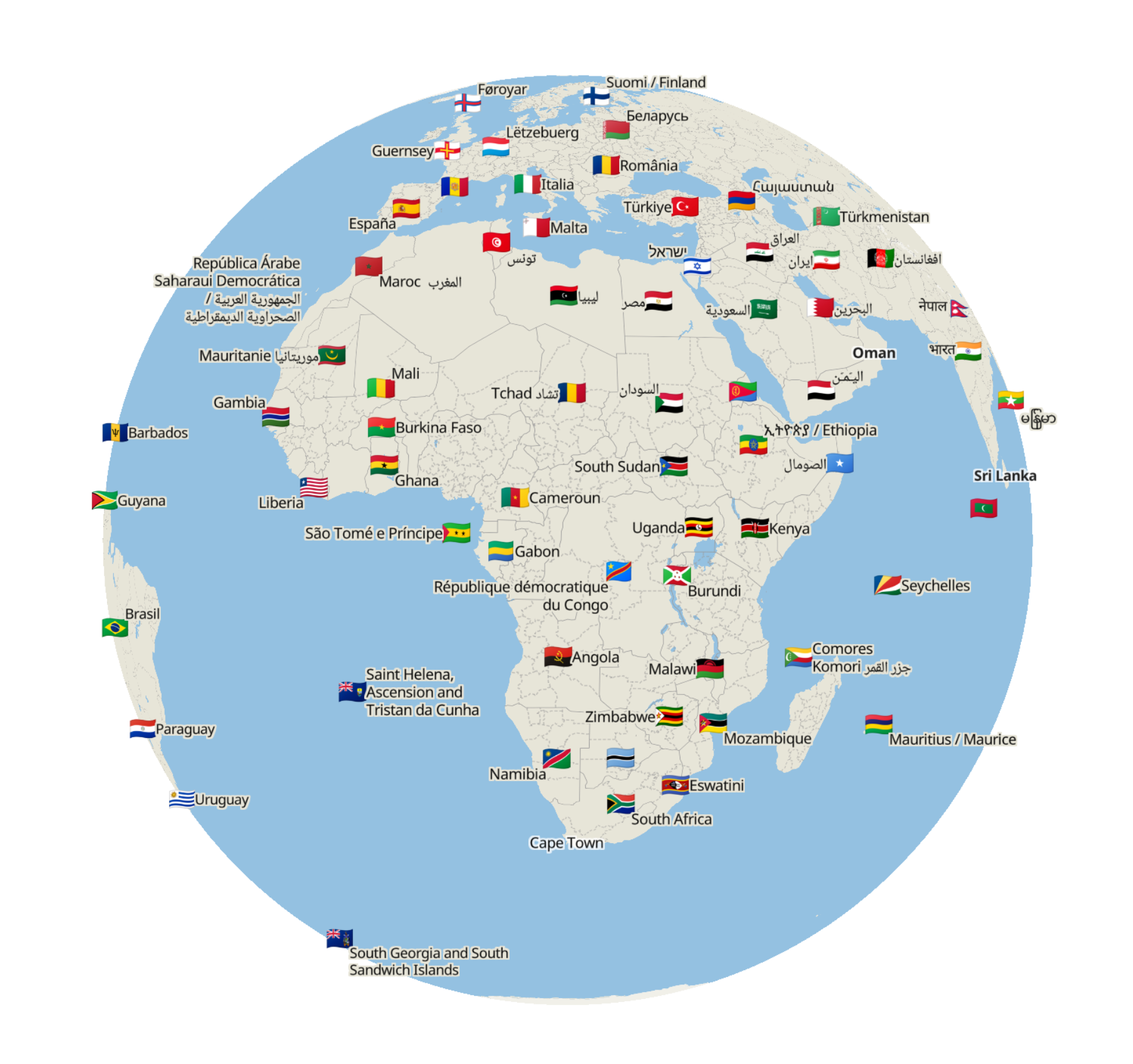
When you zoom out, you see city and country names and flags so you can learn all about those!
It is so creative and I love it. osm.kids demonstrates so well that you can make maps with OSM that you cannot make with any other map tools out there.
2 media